Where is it?
The site lies between two rivers — the Great Ouse and Nar, with the Boal Quay area to the north, the residential areas of The Friars and Hillington Square to the north-east, South Lynn to the south and West Lynn across the Ouse to the west. You can see the boundaries of the site here.
The site is open all year and easy to access, with the main path network suitable for bicycles, prams and wheelchairs.
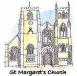
From the town centre, look for the Saturday Market Place at the southern end of the High Street, and the Church of St Margaret of Antioch, now known as King’s Lynn Minster. This is one of two historic churches on the south side of the town (the other being All Saints Church, which is actually the oldest church in King’s Lynn — both are well worth a visit).
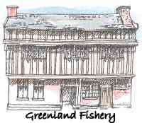
Go down Church Street (behind The Minster) and Bridge Street, past the early 17th-century Greenland Fishery. Part of this former merchant’s house was for many years a public house and was reputedly where sailors employed in the whaling business would meet. From 2026, it will be home to Greenland Fishery Music, a music-orientated arts centre.
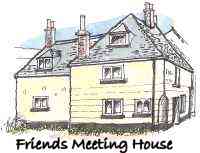
and then what used to be The Hulk public house and is now the Quaker Meeting House…
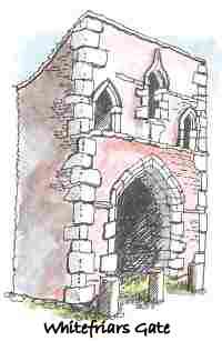
past the Whitefriars Gate, the last remaining part of a former Carmelite priory …
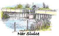
and follow the pedestrian and cycle path that runs beside the Harding’s Way bus lane south, over the Nar Sluice bridge, toward South Lynn. You will meet the Harding’s Pits central path in front of you and follow it through the Beuys Acorns oak circle and into the Doorstep Green.
Artwork by Janet Johnston
2026 (Saturdays)
- 26 September
- 10 October
- 7 November